For those who are puzzled by the incomprehensible title, I started a series of posts back when I was in Year 1 called the Law of Gains Act, unsurprisingly, focused on fitness and exercise. (I wasn’t overweight at the time so it appeared more credible than it does today. I might also add that it was the chairperson of Justified at the time came up with the title.) In the series, there are one and a half posts – the half-post being an unrelated fitness post released last year that was not named appropriately because I’d forgotten about the series – and I feel like it would be really silly if I graduated without adding another entry into the series.
(If you’re so inclined, the other posts in the series are a compilation of exercises you can do at the track, which has been closed for the last year; and a guide on how to ace your IPPT, which is of limited benefit since you never know if and when you’ll even get to take the test – I’ve not taken a single IPPT in the last 2 years. You might as well also read this cool post about cats because it’s the post with the highest click rate in the last 7 years on this website and is my only notable achievement in an otherwise misspent law school career, apart from that one time I got a compliment from Vice Dean Chalmers during ILT.)
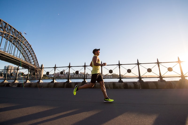
Anyway, I figure that this might be my last chance to do something meaningful in law school, so I wracked my brains to think of something that would be worthy of a post. One morning, when I’d woken up late and was desperately trying to make it to Prof Ivan’s Legal History in Perspective class (an awesome class, if I may add), I was doing that thing that 2008 Sherlock Holmes did when he was calculating the odds of success in the fight scene, by simulating the different routes I could take through the park to get to class on time. Right then, it struck me that my simulations were entirely meaningless because I didn’t have the faintest clue about the actual length of any of the routes to school, so I committed myself to this Herculean undertaking of measuring out all the possible running routes in and around school. Hopefully, this might give you some ideas of where you might like to go for a run if you’ve a few hours to spare between, after or before classes. I’ve also included some photographs to warn you of potential hazards and important features of the route. (By the way, I was late. In case you were wondering.)
Before I start telling you about the routes, I think I’d like to share how I arrived at the figures because it was a lot of work and I want some credit for it. First, I planned the routes using a printout from Google Maps, some plastic wrapping and colored markers. (It’s like that thing guys would do during NS before chucking the map into their backpack and using their phone like thinking soldiers.)
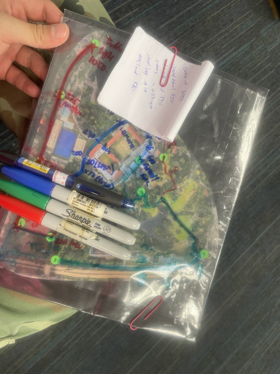
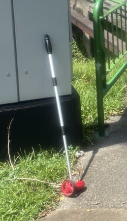
Second, I used the measurement function to get estimates of the routes first. Third, I went and spent like $50 to buy this sick collapsible measuring wheel. Fourth, I walked around all of the routes and took down the measurements using my measuring wheel and my running app. Just to eliminate the chance of human error, I went ahead and did the whole thing TWICE. I took the average of all the readings and the estimates and arrived at the figures you’ll see in the rest of this post.
OK, that was a pretty long introduction but I promise that it’ll be worth it! Here it is: the fruits of my labor! I’ll break down each route separately.

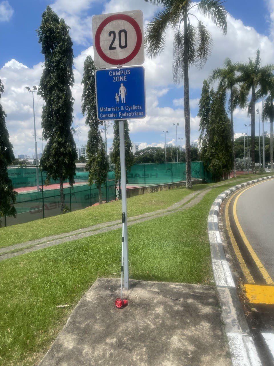
Route A: around campus
The first route will be the most obvious and difficult: around the campus. It’s really difficult because there’s a steep downhill (so you’ve got to be careful not to hurt your knees) and two uphill sections (which is good for when you want to satisfy your masochistic urges and imitate Sisyphus).
Part 1: drop-off area to bottom of the loop
The first stretch is from the drop-off area to the bottom of the loop next to the turning mirror. This is 220m long.
This is the steepest downhill, so be careful! You’ve also got to watch out for the shuttle bus at the LKY SPP block.
Part 2: windy uphill
The second stretch is from that stop sign to this sign at the library. This is about 200m long so you’ll have covered about 420m total, starting from the drop-off point.

If you just do the upward slope between the next two two pictures, that’s about 90m so it’s a good distance to do uphill sprints.
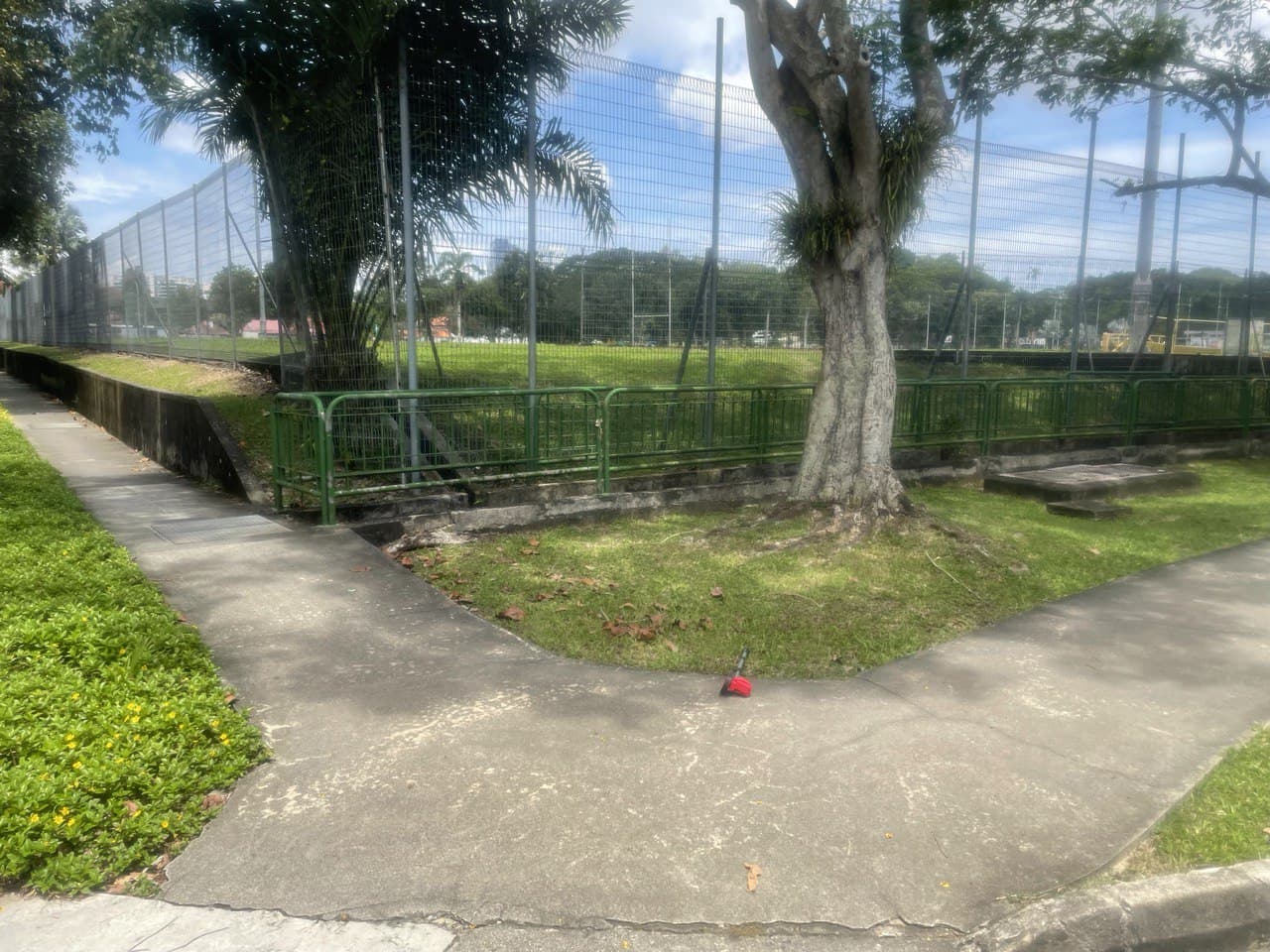
Part 3: library stretch
From the library sign (420m mark) to this lamp post after the rubbish collection point is approximately 80m.
Part 4: Federal Building stretch
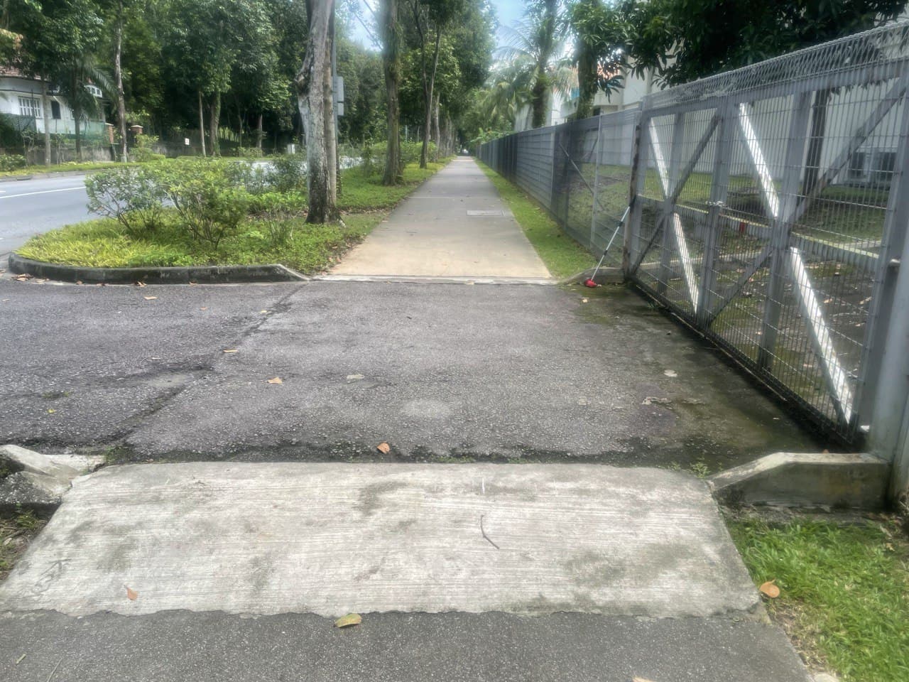
From the dustbin to the this carpark entrance at the FEDERAL building is about 100m again.

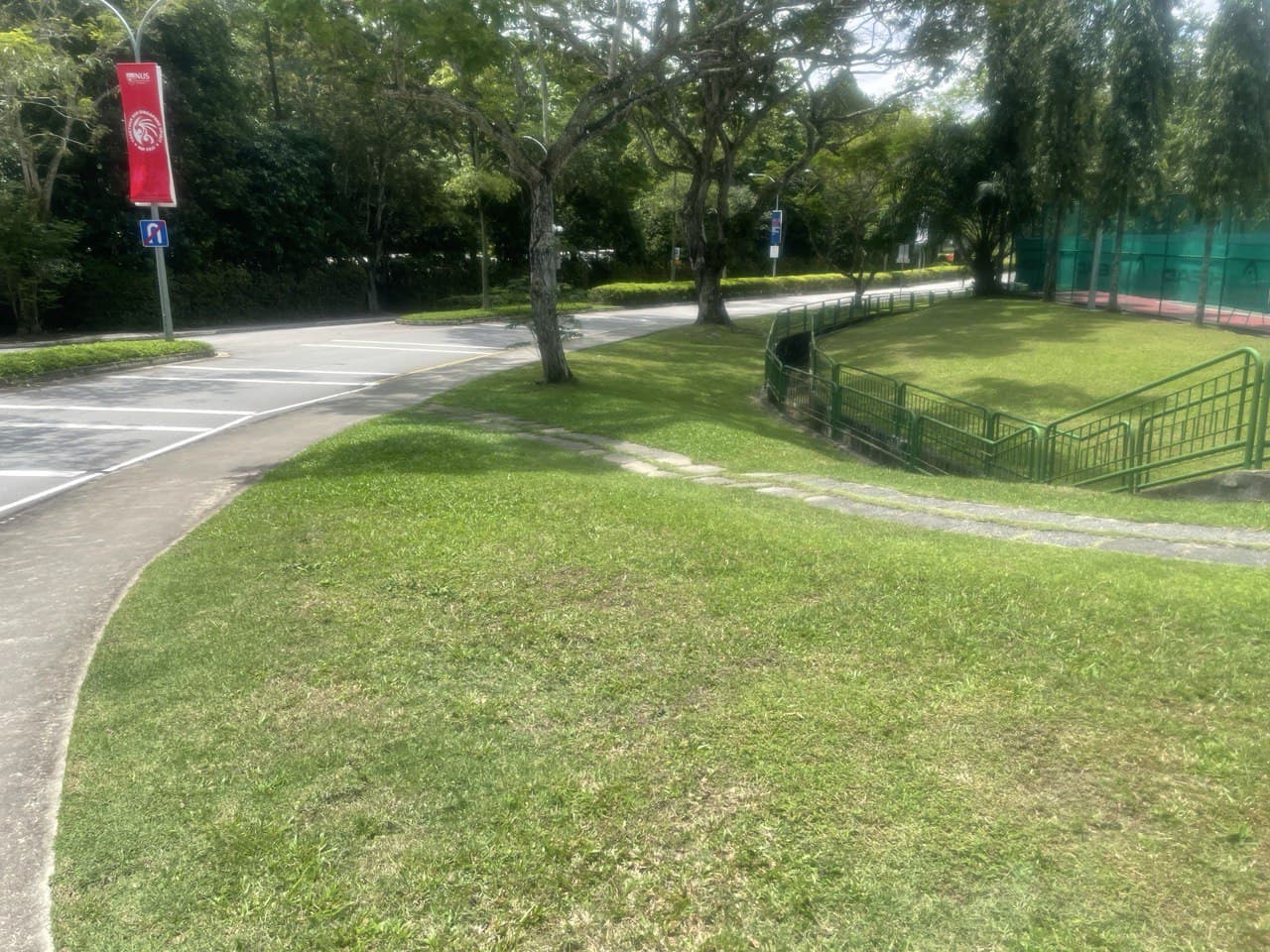
Part 5: Eu Tong Sen Building stretch
Once you reach the carpark entrance after the EU TONG SEN building, that’s roughly 120m, and about 20m after that is this loading area, so let’s use that as our checkpoint. At this loading area, you’ll have run 740m.
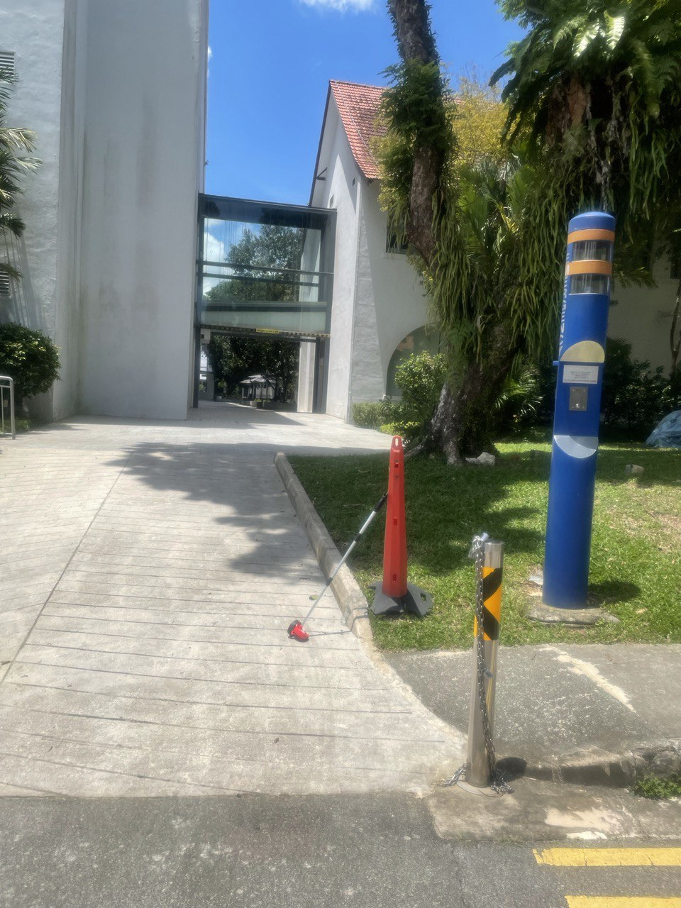
These few stretches are pretty useful if you want to do sprints since they’re all roughly 100m long and they’re uninterrupted straight paths.
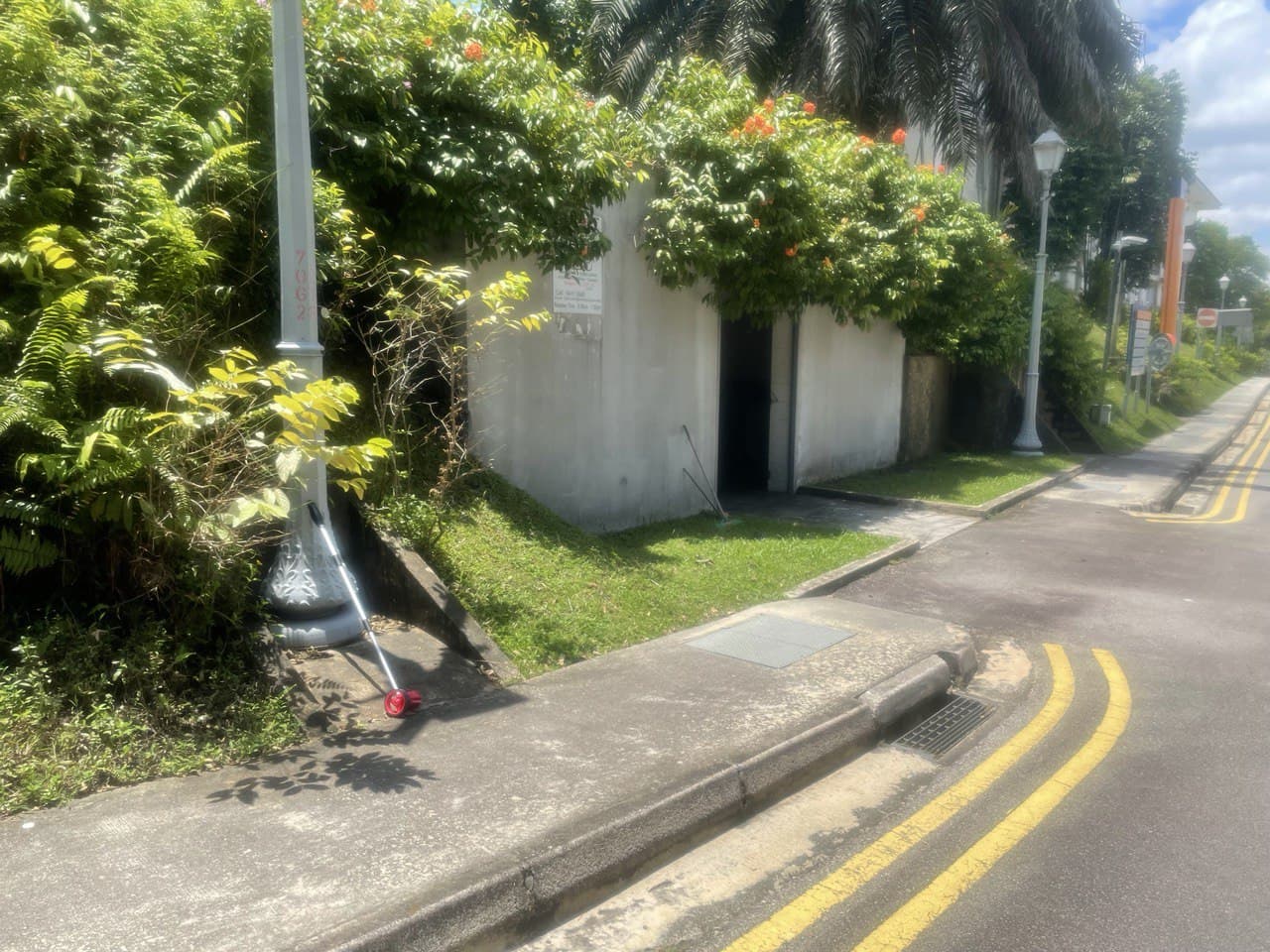
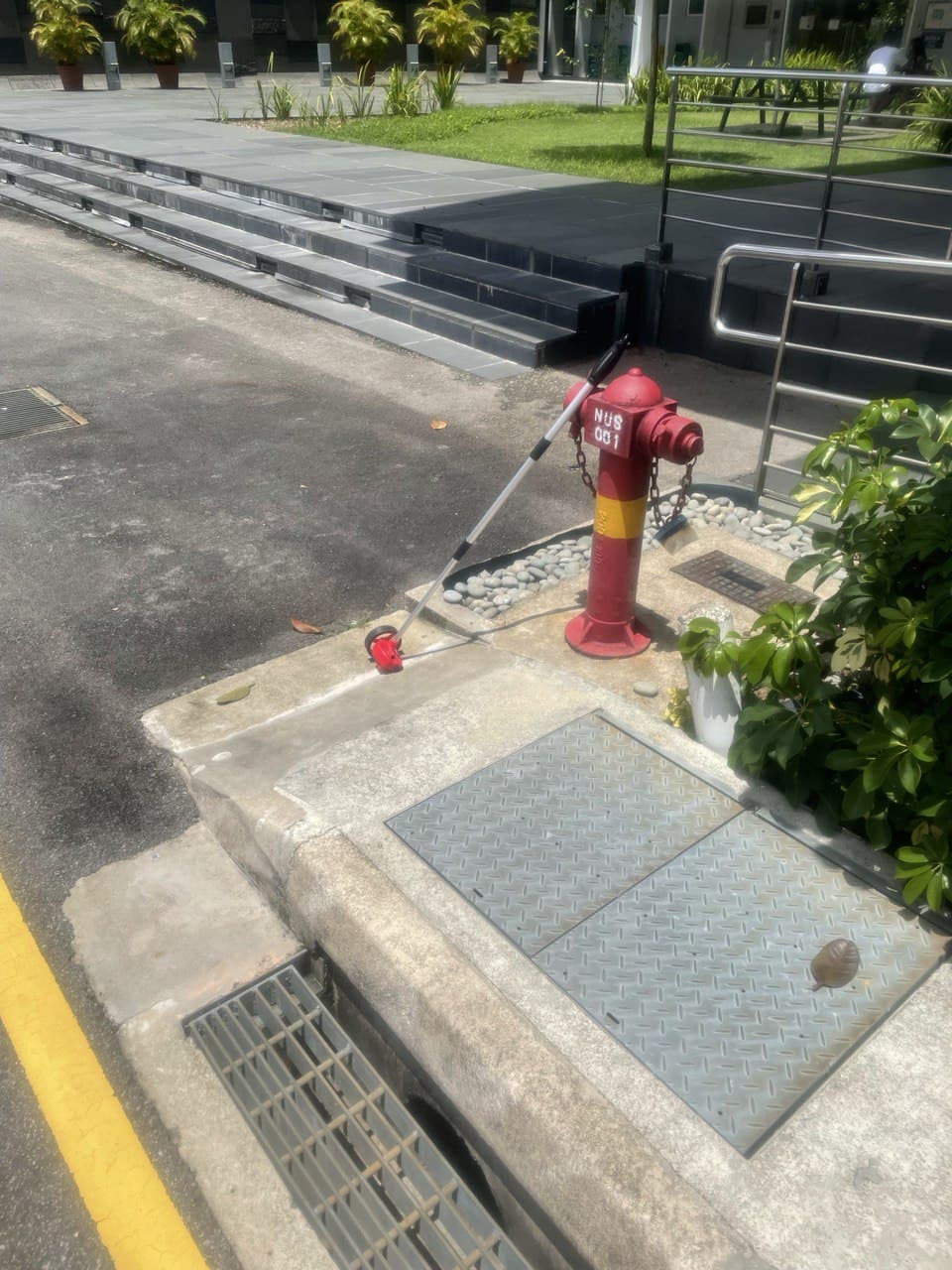
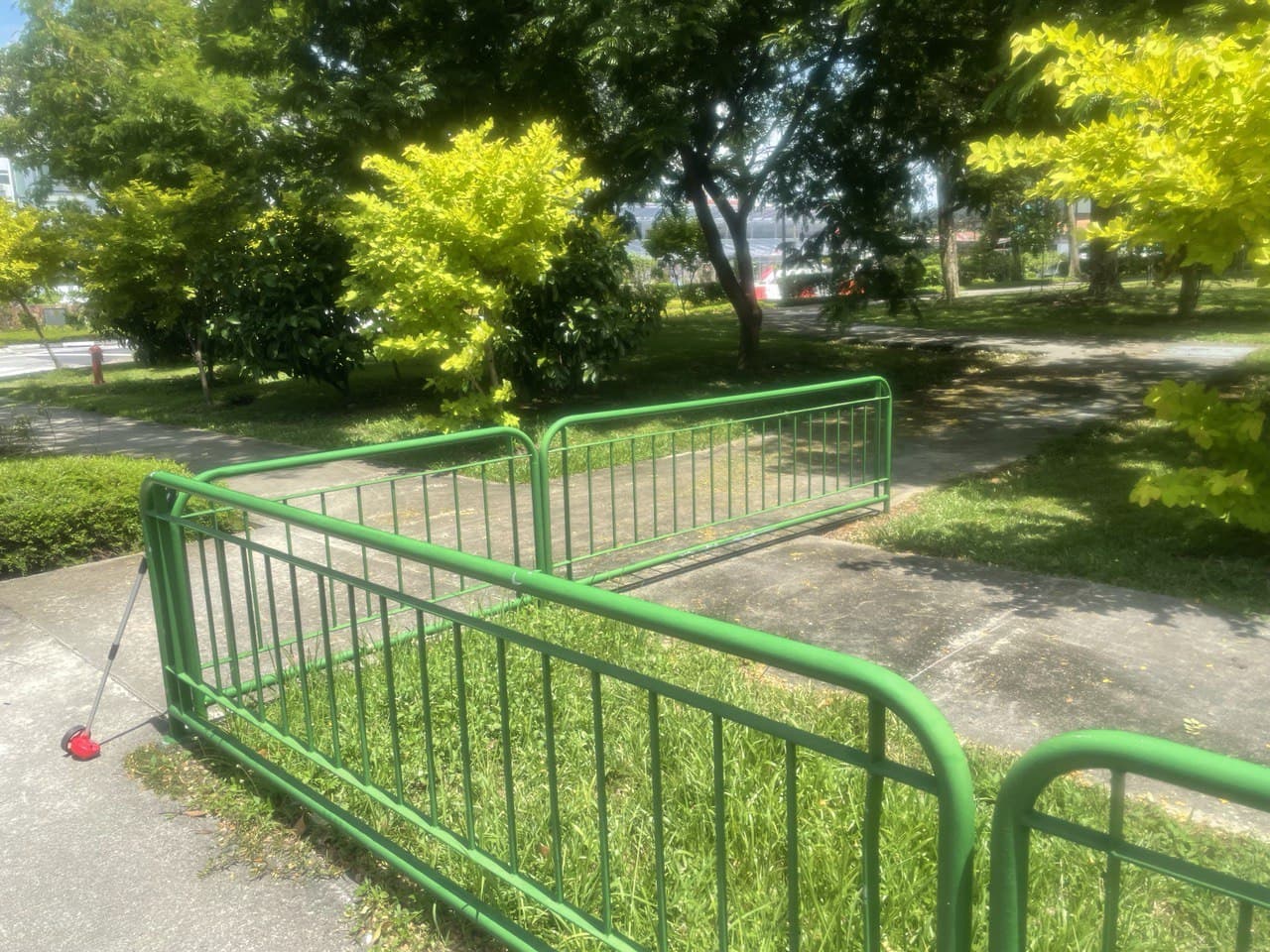
Part 6: Summit stretch
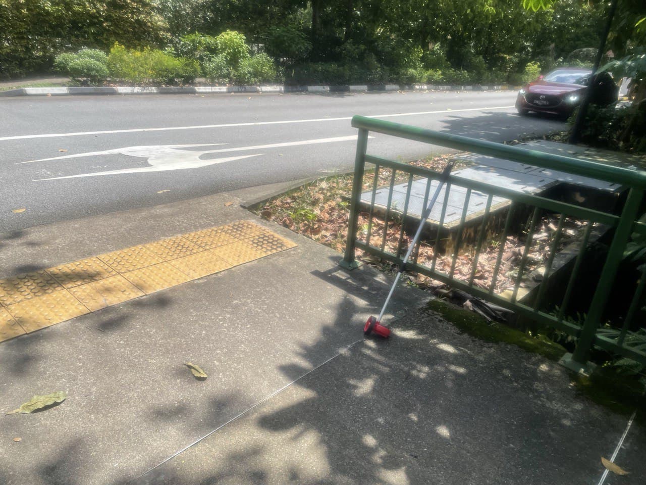
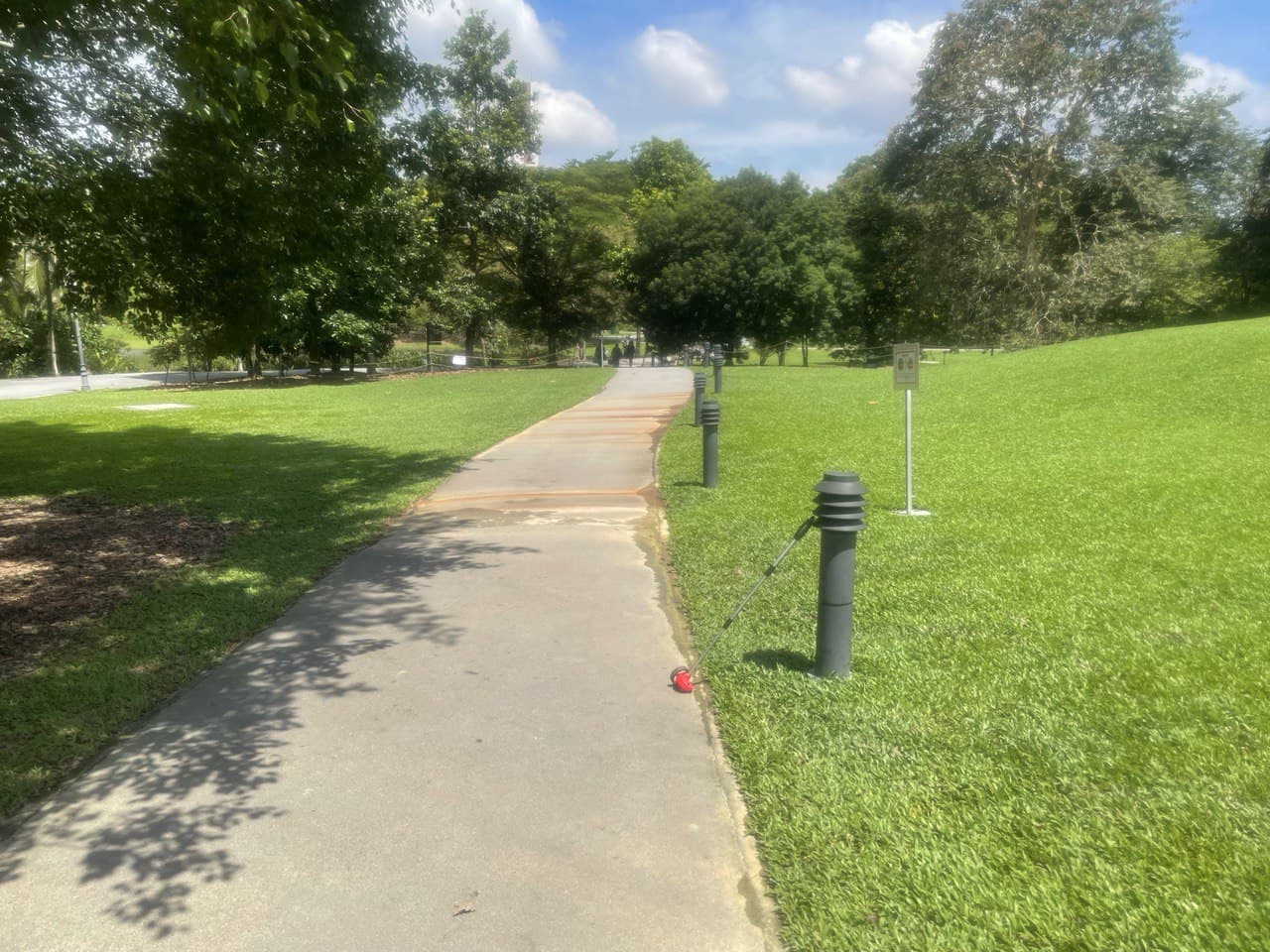
If you run from that loading area, past the Summit and this fire hydrant and back to the drop-off point, that’s about 200m so you’ll be done with your 850m lap. I definitely don’t recommend sprinting here because you’ll look like an idiot if you trip since the only place to run is along the tiny walkway covered with plants.
Summary of Route 1: Personally, I like using this route when I’m in good shape because it’s quite challenging. The main problem is that it’s really hot and there’s absolutely no overhead shelter at all so the sun will be beating down on you the whole way, which could be a selling point if you like skin cancer or consider meaningless pain to build character. The uphills are demanding and will work your calves thoroughly, which is precisely why I wouldn’t do it unless I was in good shape since you could strain your muscles too much.
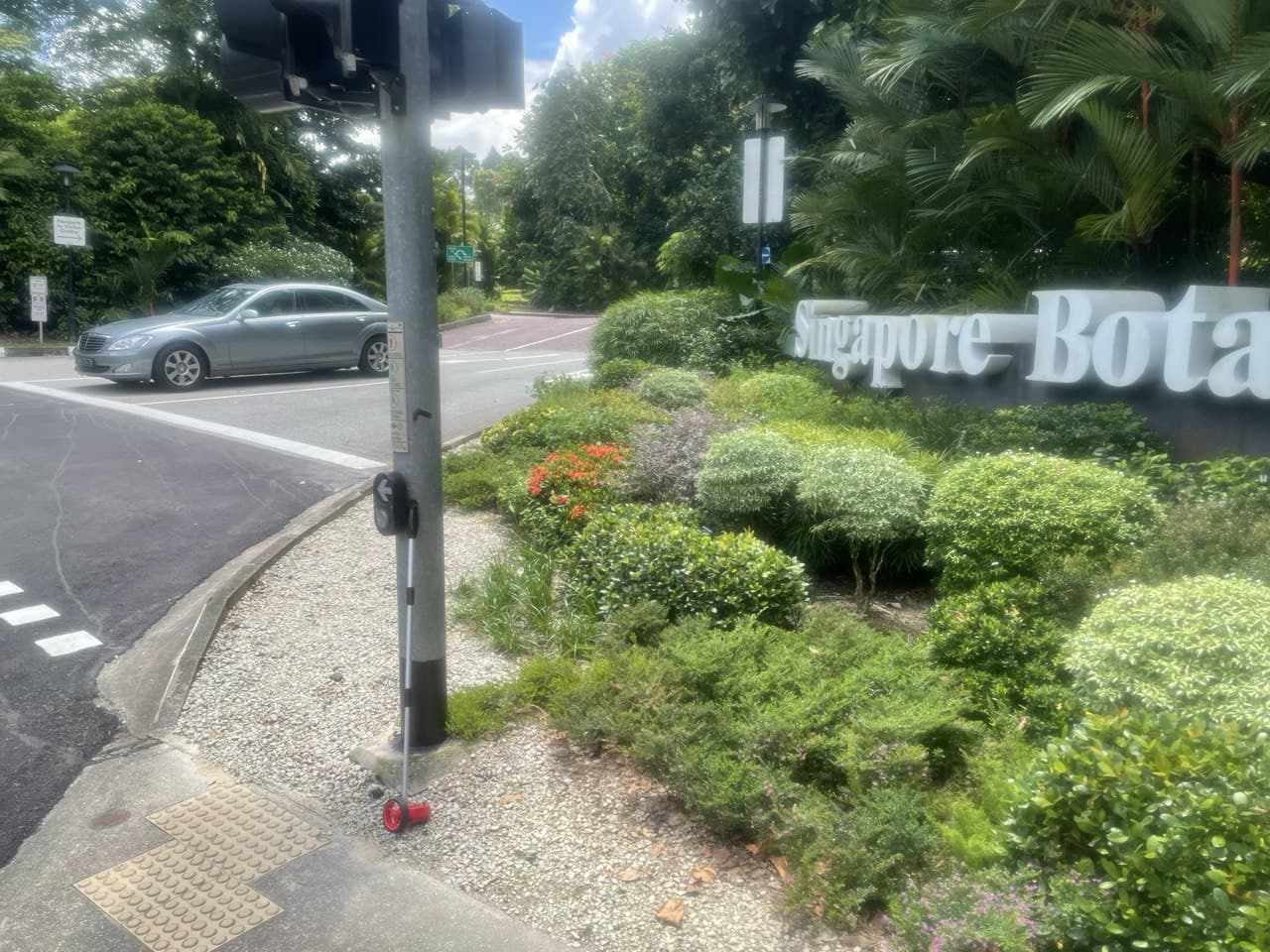
Route B: Evans road
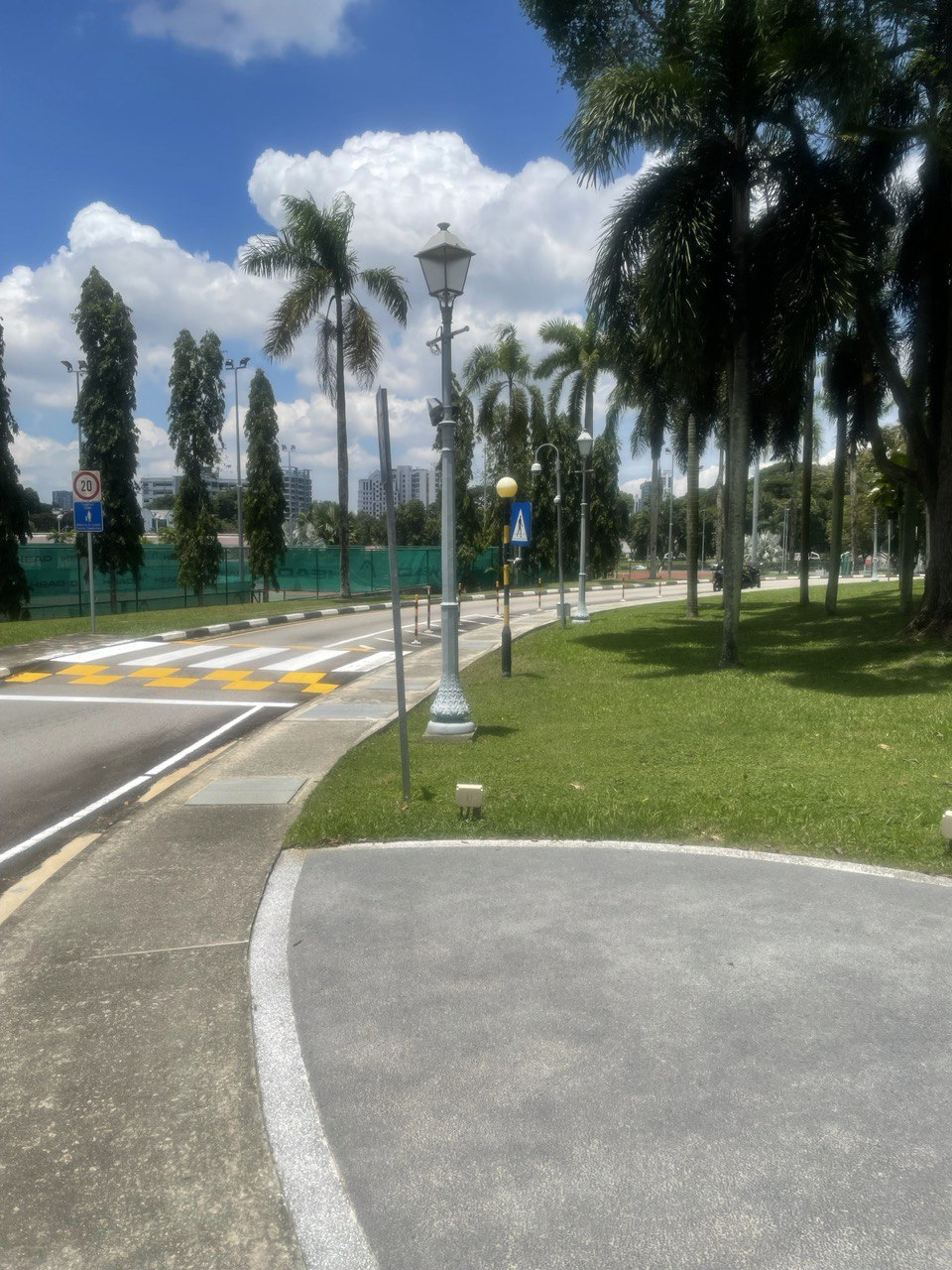
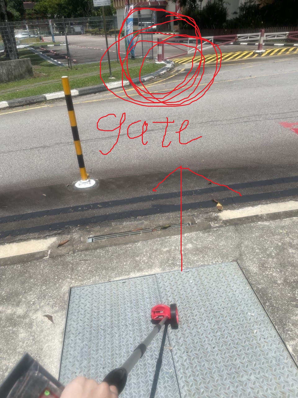
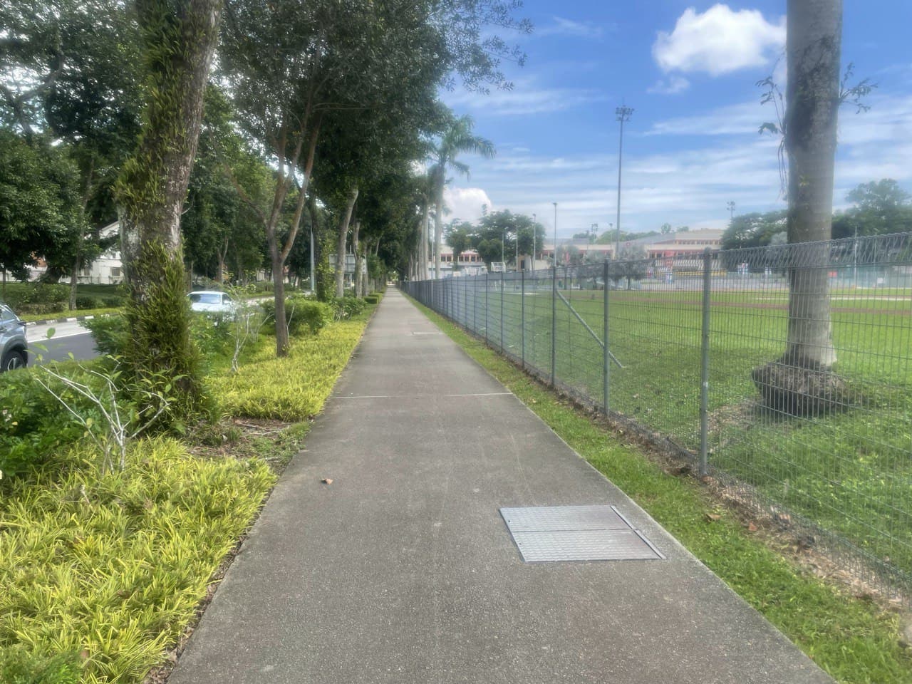
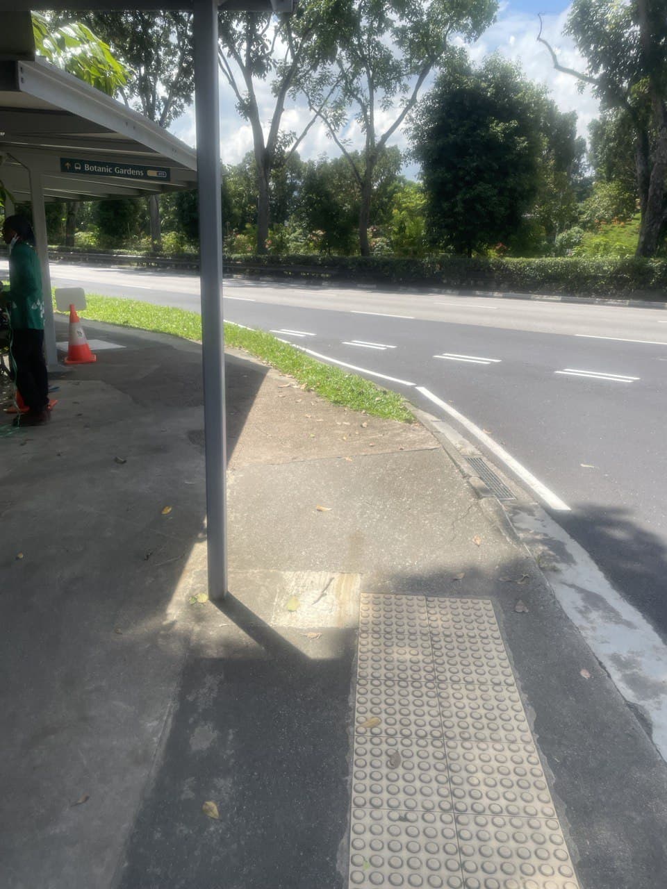
This is my new favorite running route since it’s just one straight line and there’s only one place you have to look out for cars at. Basically, you just start at this pedestrian crossing and run all the way around the track and up Evans Road till you reach the Botanic Gardens Nassim Road Gate, and then run all the way back. The journey is 1050m each way, so if you do 1 lap back and forth, that’s 2100m done. It’s easy to run and you can just run 5 laps and cover about 10km since it’s a nice round figure. There’s only one uphill/downhill and it’s quite gradual so it’s not too bad.
If you don’t care about the breakdown, the next two pictures are the start and end points. It’s 1.05km between the two photos.
Part 1: downhill slope
This downhill is quite long, which also means that it’s quite gradual. If you start from the sign and end at this tree, it’s 210m.
There’s nothing of note, except that you sometimes get people stopping their cars here after exercising elsewhere so they might suddenly open their car doors or walk by.
Part 2: across the track
If you run along this straight path with the concrete bulwark (is it called that?) and hit the corner, that’s 130m, so you’ll have covered 340m total.
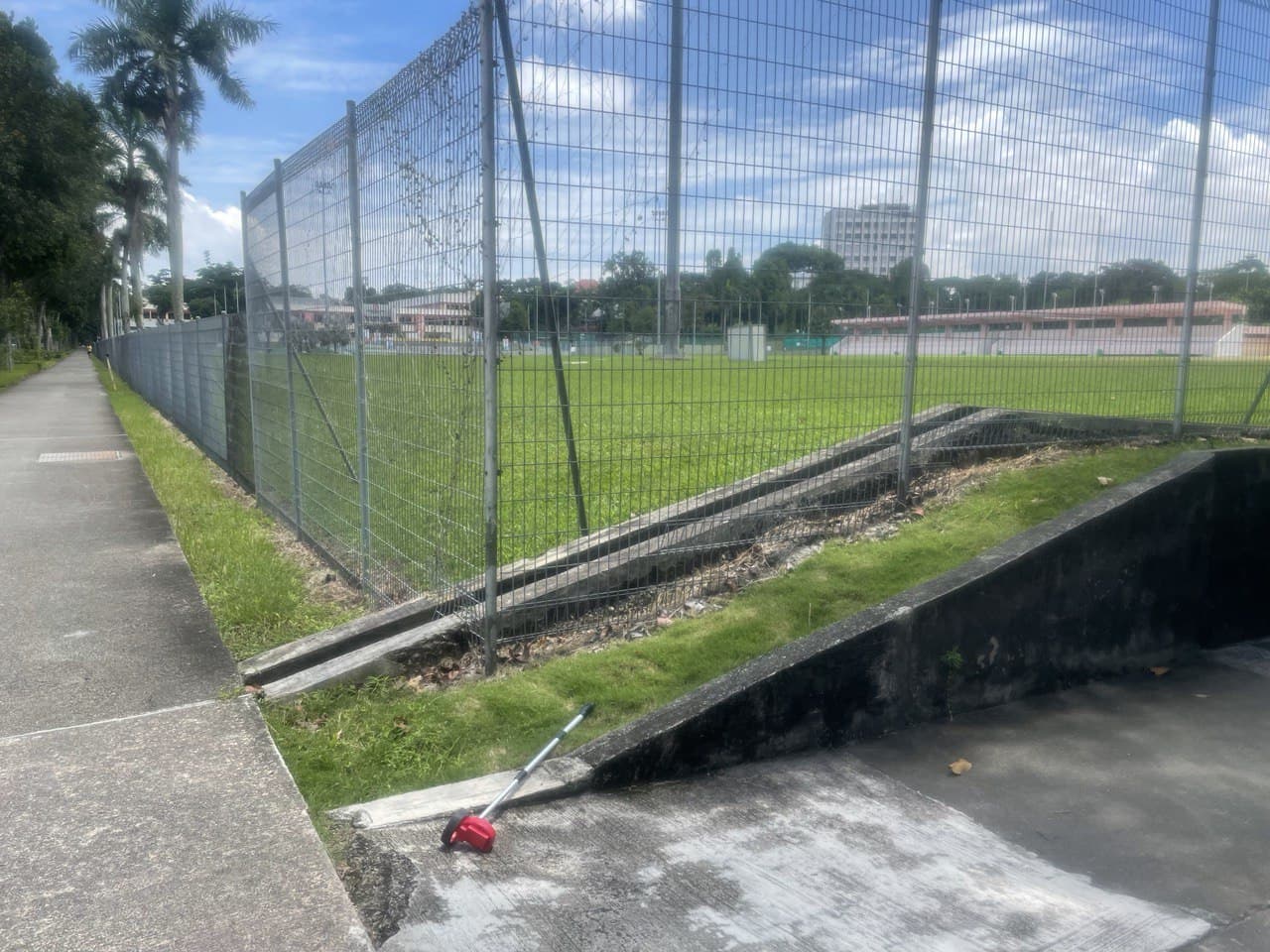
This path is really narrow and the shrubbery grows quite thickly so you need to be careful not to step off the path and hurt your ankle. For some reason, this part of the path is REALLY crowded. There’s usually someone else running, cycling or walking along here.

Part 3: along the track
If you run up to the CCAB carpark entrance, that’s another 170m for a total for 510m covered. You’re halfway there! (Well, a quarter, since you’ll have to come back the same way.) Be careful of cars! This one isn’t so bad since there’s a gantry that’s very near where you’ll be running so the cars won’t be moving too quickly.
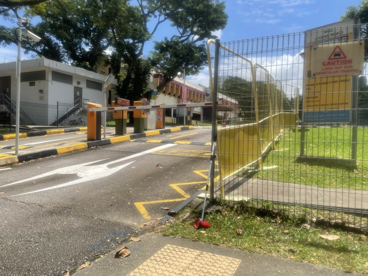
This is the best part of the run because there’s a killer view, especially around sunset time.
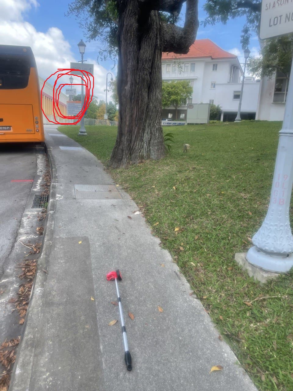
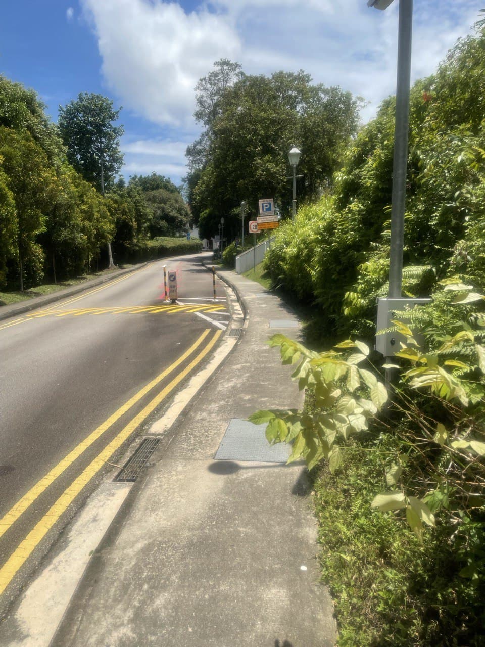
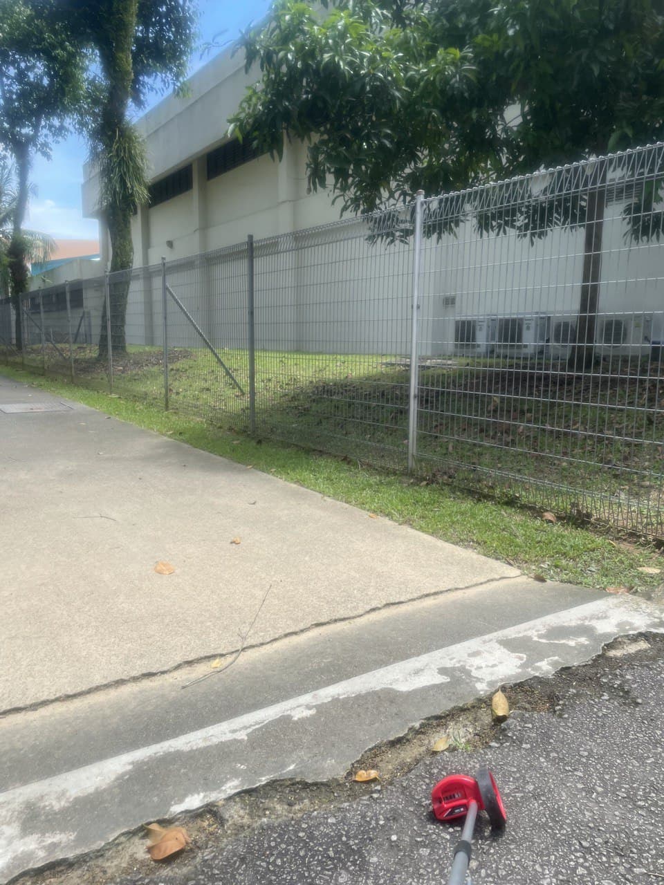
Part 4: after Prata House
Starting from the part where you can see the back of the swimming pool, all the way until the next time you have to cross the road, is about 315m long so you’ll have run 825m total. This part is shaded so it’s good for hot days. The path is very wide so you won’t have to worry about other pedestrians.
The only bit you have to be careful of are these parts where the road has cracked. I’ve had several near misses here so watch your footing!
Part 5: curvy road
This last bit of the lap is pretty narrow so keep an eye out for pedestrians. It’s nice and shaded so you should be alright during the day. When you reach the traffic light, you’re done with 1050m and you can turn around!

Route C: replacement track
I call this the replacement track because it’s 415m long so you can just run it 6 times to practise your 2.4km run. I’m not going to do a breakdown but I’ll point out the hazard areas.
First, this corner is very sharp. If you run too fast, you might accidentally kill yourself by running into traffic. You’d probably feel pretty silly if that happened.
On a similar note, be careful AFTER you run that corner since the pavement is quite narrow so you could trip if you get dizzy and start running in a wiggly path. Be careful not to negligently knock pedestrians off the pavement as well.
At this turning, it doesn’t matter if you run inside or outside since they’re of exactly the same length.
The rest of the route is quite straightforward so there’s nothing to worry about. The only thing is that it’s usually used as a rest area for workers so be careful not to knock over their things. It’s a decent route if you want to have a shorter lap but I wouldn’t run very fast here because the stretch along the road is a bit dangerous so you should be more attentive there.
Route D: along Bukit Timah Road

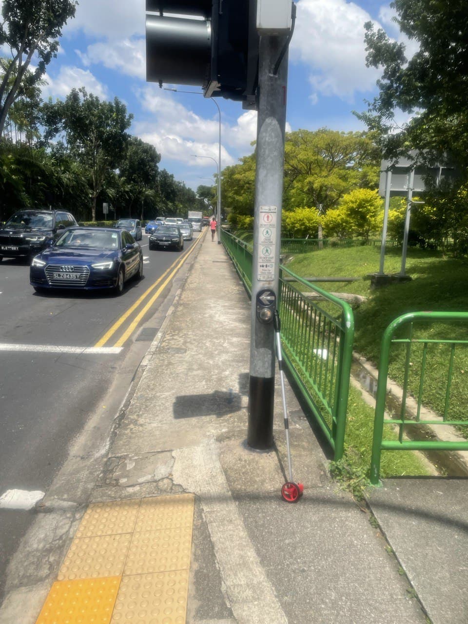
This last route is also quite straightforward. I don’t think there are any safety hazards, especially since there are security cameras along the path and it’s well-lit even at night. You just run from this corner here all the way to the Botanic Gardens gate next to Cluny Court and it’s about 550m.
Routes E and F: alternatives of getting to school
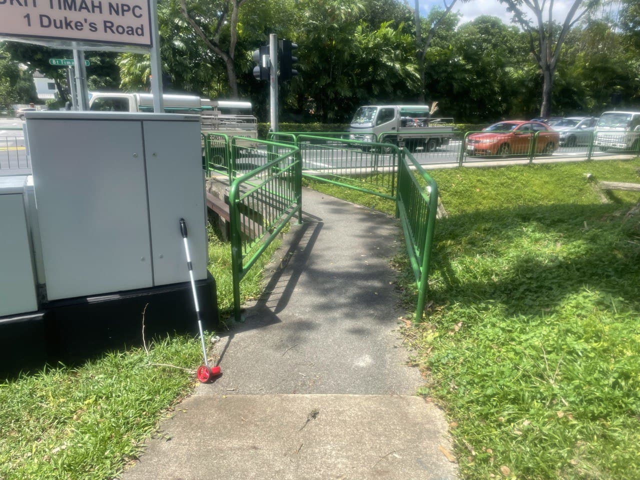
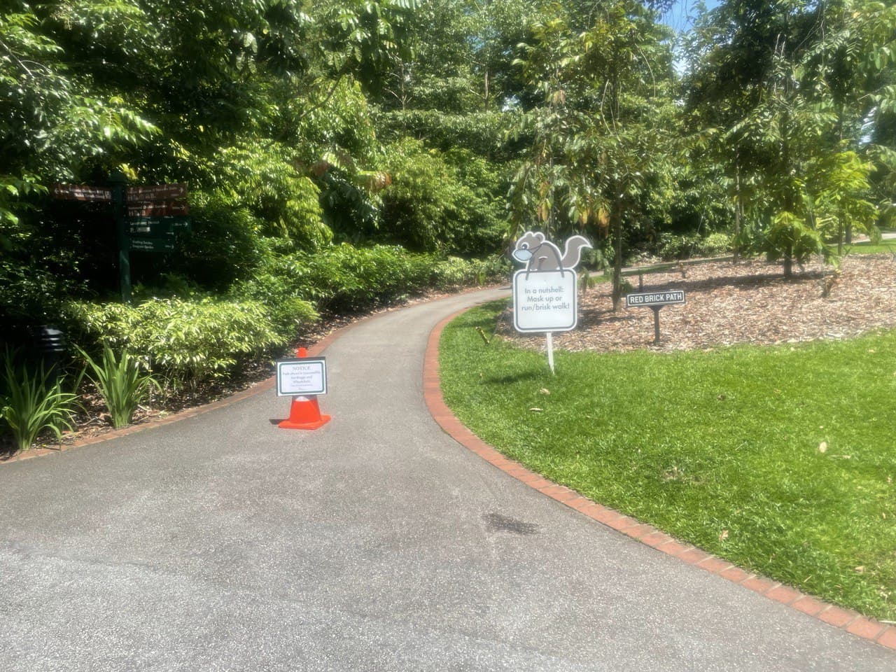
So, this isn’t really a running route but it’s probably the route that most of you might have run before because they’re the two paths you can take to get to school from the MRT station. I remember walking along the Red Brick Road for half of Year One like an idiot until someone told me about the other staircase. However, I’ve also heard that the Red Brick Road is actually the same length and it just feels longer, like a placebo effect. I decided to measure out both routes once and for all to determine which is really the shorter route. I started from the Botanic Gardens gate and made my way to the drop-off point, to the side of the courtyard.
Route E, which is the one where you turn left after the pond and head up the broader grey stairs, is 500m long.
On the other hand, Route F, where you turn right and go up a winding road, is 600m to get to the Student Lounge, so it’s obviously way longer.
In hindsight, I feel like anyone should have known that the Red Brick Road was obviously longer even without measuring it out, so I feel a little silly.
Conclusion
I hope this list of running routes was useful for you. I think that our campus is actually really nice for running because it really looks quite pretty. I hope this makes it just a little bit easier for everyone to make use of this environment to practise your running! Just remember to be aware of your surroundings: don’t run with your earphones blasting too loudly; be alert for traffic and other pedestrians; know your limits so don’t run too far if you don’t have water; and let someone know where you are running!
Happy training!